
| Gil Mały | ||
|---|---|---|
| Pueblo | ||
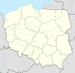 Gil Mały Localización de Gil Mały en Polonia | ||
| Coordenadas | 53°42′48″N 19°44′46″E / 53.7133, 19.7461 | |
| Entidad | Pueblo | |
| • País | Polonia | |
| Huso horario | UTC+01:00 y UTC+02:00 | |
Gil Mały [pronunciación en polaco: /ˈɡil ˈmawɨ/] (en alemán: Klein Gehlfeld) es un pueblo en el distrito administrativo de Gmina Miłomłyn, dentro del Distrito de Ostróda, Voivodato de Varmia y Masuria, en el norte Polonia.[1] Se encuentra aproximadamente 8 kilómetros al sudoeste de Miłomłyn, 15 kilómetros al oeste de Ostróda, y 50 kilómetros al oeste de la capital regional, Olsztyn.
Referencias
- ↑ «Central Statistical Office (GUS) - TERYT (National Register of Territorial Land Apportionment Journal)» (en polaco). 1 de junio de 2008.
Enlaces externos
- Esta obra contiene una traducción derivada de «Gil Mały» de Wikipedia en inglés, concretamente de esta versión, publicada por sus editores bajo la Licencia de documentación libre de GNU y la Licencia Creative Commons Atribución-CompartirIgual 4.0 Internacional.
| Control de autoridades |
|
|---|
 Datos: Q3105545