Why has the weather changed again?

- Published
The weekend offered many of us a welcome chance to get out and enjoy some warmth and sunshine.
Saturday was the UK’s warmest day of the year so far with the mercury hitting 21.8°C at Writtle in Essex – hot on the heels of Aberdeenshire reaching 20.2°C on Friday.
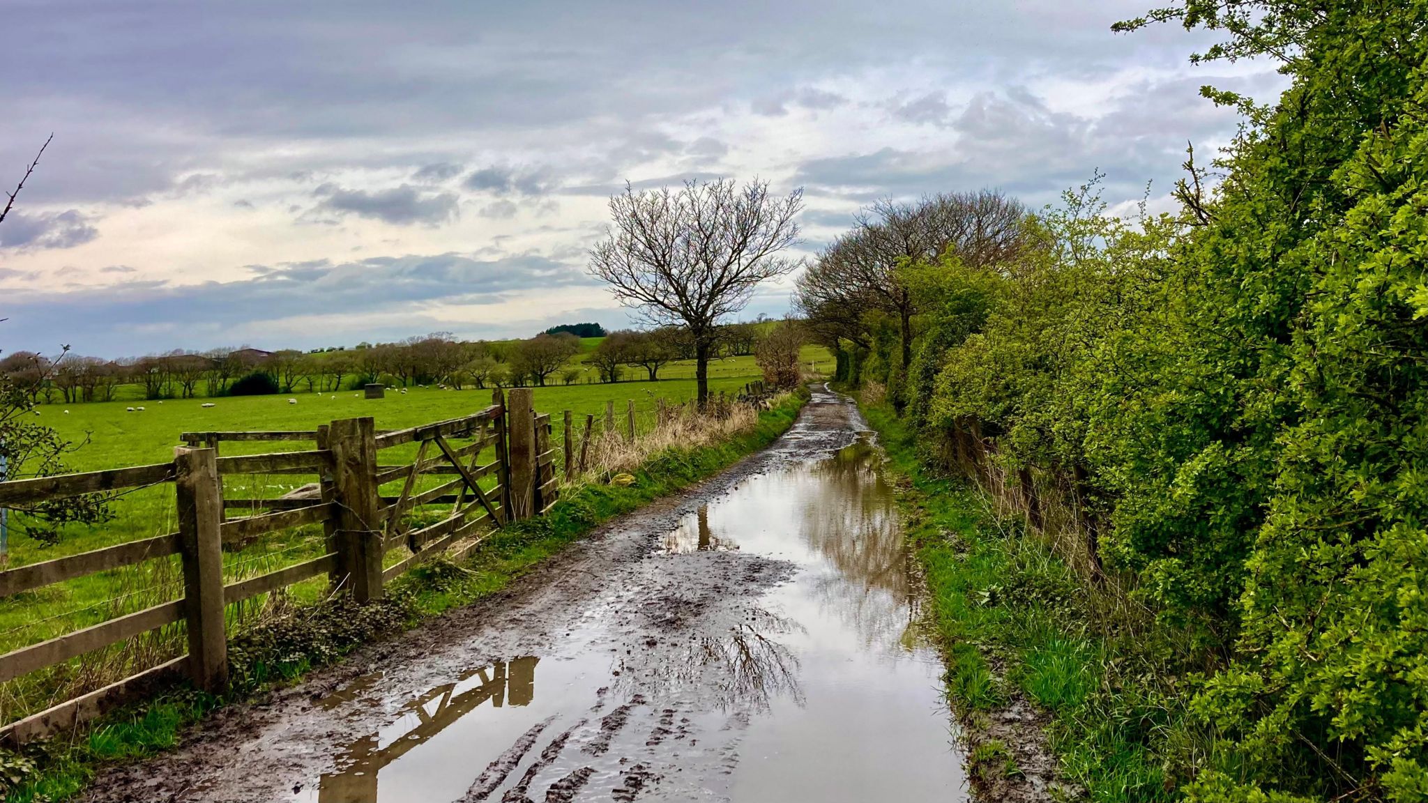
But since then things have changed. Strong winds, heavy downpours and colder air have returned for the start of this week.
So was the spring warmth just a flash in the pan?
Wet and windy once more
Spring warmth can be fickle and it often doesn’t last for long.
Over the weekend warm south-westerly winds were gradually swapped out for cooler north-westerlies, and an area of low pressure crossing the UK on Monday reinforced that flow of colder air.
It also brought squally winds, heavy downpours and even snow in the showers over high ground in Scotland.
After the many washout weeks we have had lately it would be easy to assume unsettled weather is here to stay but the forecast suggests that is not the whole story.

High pressure over the UK usually means a spell of settled weather
High and dry
This week – slowly but surely - high pressure is expected to build close to the UK.
While this will mean a trend towards drier weather, the devil is in the detail. Initially the high will be centred to the west of us meaning frontal systems and showers, especially for northern and eastern parts.
And because winds around high pressure flow in a clockwise direction, this setup means we will keep northerly or north-westerly winds – so don't be expecting a heatwave. Temperatures this week will stay around or below the seasonal average.
Weekend outlook
There are signs that high pressure will build more strongly across the country by the weekend – which would mean fewer showers and more dry weather.
This would also cut off the feed of north-westerly winds allowing temperatures to rise a little although at this stage we do not expect it to be as warm as last weekend.
Persistent areas of high pressure have been a rare visitor to our shores recently – in fact we have to look right back to the second week of January to find the last time a high stuck around for several days.
So while it may not be completely dry, a break from the relentless rain will be a welcome change for many.

The skies are unlikely to be completely cloudless, even if the weather is largely settled
How long will it last?
Computer models suggest that high pressure will break down at some stage next week allowing more unsettled weather to return.
But it is worth bearing in mind that models can kill off high pressure systems more quickly than happens in reality, so there is a lot of uncertainty about just how quickly widespread wet weather might return.
For the latest forecast you can keep up to date with BBC Weather online or on the app.
- Published9 April