Summer heat makes a late return
- Published

A late burst of "summer" heat will continue to be felt across many areas of the UK throughout this week, with many seeing their warmest conditions since June.
With strong sunshine and blue skies forecast for many, temperatures will climb widely to mid- to high 20s Celsius.
Some parts of southern England and Wales are also likely to exceed 30 Celsius at times.
September heatwave
Heatwave criteria, where daytime temperatures climb above defined temperature thresholds, are likely to be met across some parts of England.
The duration of the hot spell has prompted the Met Office and UK Health Security Agency to issue an amber Heat Health Alert across eight of England's nine regions, until Sunday. The exception is England's north-east, which has a yellow alert.
The amber alert says that significant impacts are probable across the health and social care sector.
Whilst temperatures of 30C or more in September are not usual, instances of it occurring have become more common in recent decades - in line with expectations under a warming climate.
From 1974 to 1998 nowhere in the UK recorded a September temperature of 30C or more. Since then, 30C was reached in 1999, 2006, 2013, 2016, 2020 and 2021.
Temperatures of 31 or 32 Celsius are far rarer, having only occurred three times and twice respectively this century.
We have to look back to 1906, though, to when the UK experienced its hottest September day. On 2 September that year, Bawtry in South Yorkshire (West Yorkshire at the time) saw the mercury hit 35.6C.
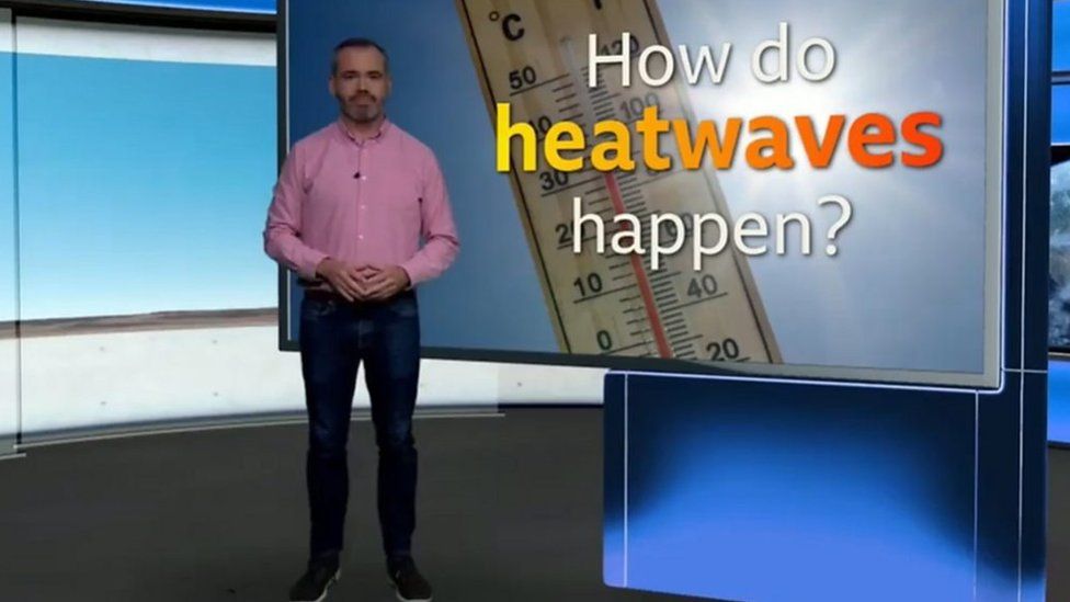
What is a heatwave?
Summer washout
The arrival of the widespread warmth comes off the back of school holidays in which many families had to dodge the downpours or look for indoor activities to entertain the children.
July was the sixth wettest for the UK, and for Northern Ireland it was the wettest, in records dating back to 1836. August brought us two named storms.
Why has the warmth returned?
The first week of September has brought a change in weather patterns. As the Atlantic storm season cranks into gear, decaying storm systems in the mid-Atlantic have helped to buckle the jet stream to the north of the UK. This in turn has helped high pressure build over us and draw in warmer and more humid air.
Sunny skies may dominate for many through the rest of this week, but occasional showers and storms are still possible in the north and west. A more widespread breakdown of the heat is looking likely into the start of next week.
You can stay up to date by follow us on social media @bbcweather.
- Published7 February

- Published17 May 2023