


The highlands and the low countries
The cultivators of high-altitude tubers and lowland crops—the plants of which seem botanically far apart at first glance—were actually in continuous contact. This point was stressed by the pioneer Peruvian archaeologist Julio C. Tello and was later verified by foreign scholars. The inhabitants all along the Andean highlands were aware of the diverse populations and climates of the Pacific coastal deserts to the west and of the Amazon lowlands to the east. The Chilean researcher Lautaro Núñez has traced the several societies who inhabited a single valley: products and settlement patterns changed through the centuries, but at all times each successive ethnic group accumulated resources from diverse ecological niches into a single system.
By adding written Spanish sources to the information provided by archaeologists, it is possible to explain further the density of the Andean population and its great productivity. Throughout the Andes, south of Cajamarca, political units large and small were characterized by a dispersed settlement pattern. The preferred location of the seat of power frequently was at very high altitudes, almost at the upper limit of cultivation, and kinsmen of these highlanders were settled permanently at 3, 5, or even 10 days’ walk from the political centres. The German anthropologist Jürgen Golte has stressed that the agricultural calendar permitted such absences, since crops matured at different dates according to altitude; but many outliers were too far away from the political and demographic nucleus to permit seasonal migrations. The outlier communities could be large or small and could be established on the dry Pacific shore or in wet Amazonic enclaves. The Lupaca (Lupaqa), an Aymara-speaking polity whose political centre was located on the puna on the shores of Lake Titicaca, controlled outliers on both slopes.
Other ethnic groups reached in only one direction. For example, the two lords of the Karanga (Caranga), on what today is the highest part of the Bolivian High Plateau, do not seem to have controlled any outliers of their own on the Amazonic slope. Their main puna farms and most of their subjects lived above 12,000 feet, and their camelid herds were pastured even higher. The Karanqa also controlled corn (maize) fields at less lofty altitudes in what today is Chilean territory, several days’ walk away. Farther west and closer to the coast were their fruit and coca-leaf gardens. Finally, even farther north, across the Atacama Desert near the modern city of Arica, the Karanqa had their “own” fishers.
One unexpected feature of such outliers is that they were usually multiethnic: several political centres shared settlements of salt miners, fishers and seaweed gatherers, cultivators of hot peppers and coca leaves, and timber cutters and honey gatherers. The political mechanisms by which conflicting groups could reach truces, even if temporary, or the means by which caravans moved with safety when connecting the central settlements with their multiple outliers are still not known.
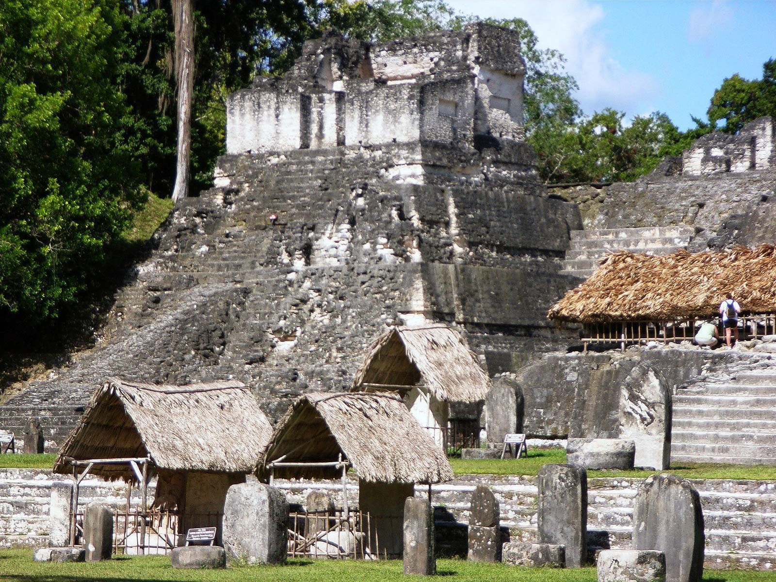
This diverse pattern of settlement and political control and of pooling dispersed resources and populations has been named “Andean ecological complementarity” or the “vertical archipelago.” Such complementarity went beyond the efficient control of the nocturnal cold and of the high altitude. Even if many details of how it worked still escape understanding, it is obvious that each ethnic group was able to diversify the risks that would have existed if each had been concentrated in any of the separate Andean ecological tiers. Beyond defensive strategies, in ecological complementarity it is possible to detect new opportunities that would permit massive storage of a wide range of foods going beyond those grown locally. Eventually there emerged dense populations and large polities like the Inca. It is notable that the foci of Andean civilizations across the centuries—Chavín, Huari (Wari), Tiwanaku (Tiahuanaco), Cuzco—were all located on the high puna.
The pre-Inca periods
The names the several prehistoric populations called themselves are not known, and archaeologists have come to distinguish the various peoples and civilizations by descriptive terms—the Late Preceramic, the Initial (or Lower Formative) Period, the Early Horizon, the Early Intermediate Period, the Middle Horizon, the Late Intermediate Period, and the Late Horizon (also called the Upper Formative, or Inca, Period). Each of the periods lasted for centuries, some for millennia. These designations stress the differences between the peoples who inhabited the coast and those who lived in the highlands, although contacts between the two areas were frequent at all times in prehistory. What have been termed “horizons” in Andean studies were much shorter periods of time when wide areas of the central Andes were united culturally and politically with one another and with sections of the Pacific coast.
The Late Preceramic
There is ample evidence of human occupation by 3500 bce, at which time there was already considerable diversity along the Pacific. In the central and northern coastal areas lived people who cultivated beans, squash, cotton, and chili peppers and who exploited the sea, catching fish with cotton nets and shell or composite hooks, collecting shellfish, and hunting sea mammals. One group at Chilca, south of modern Lima, built conical huts of cane thatched with sedge. The dead were buried wrapped in twined-sedge mats and the skins of the guanaco, a wild camelid. Some people camped in winter on the lomas, patches of vegetation outside the valleys that were watered at that season by fogs. In summer, when the lomas dried up, they built camps along the shore. The lomas provided wild seeds, tubers, and large snails; deer, camelids (probably guanaco), owls, and foxes were hunted. The lomas had long been shrinking, and the winter camps were abandoned (c. 2500 bc) in favour of permanent fishing villages. Nowhere are the deposits thick enough to show stratification, but they have been arranged in chronological order by comparing the implement types and noting their distribution within the shrinking patches of vegetation. Some small patches still survive.
In the far south, the lomas were and still are more extensive than in the centre, and projectile points are abundant in them and in caves in the valleys. Deer can still be seen on the lomas, and it appears that hunting of them and of guanaco was the main activity in Late Preceramic times.
In the far north, in the Talara region and extending north into Ecuador, are stone tools and mangrove-dwelling mollusks, left by people who enjoyed a wetter climate than that now prevailing, and one inland site at El Estero, provisionally dated somewhat earlier (c. 5000 bce), has well-made polished stone axes and mortars that indicate the exploitation of forests and grasslands yielding seeds.
Much longer periods of occupation have been postulated for the highlands: the American scholar Richard S. MacNeish has suggested a human presence as early as 15,000 bce in the Ayacucho Basin, which would correspond to the traditional “first wave” of immigrants into the New World. Since there has been much less research in the highlands than on the coast, little is known of the highland Late Preceramic. The caves at Lauricocha at about 13,000 feet in the central Andes, which had been occupied by deer and camelid hunters since nearly 8000 bce, were still used, at least as summer camps, by hunters who employed small leaf-shaped points. Gourds, squash, cotton, and lucuma, with seed plants such as quinoa and amaranth, were cultivated in the Ayacucho Basin before 3000 bce; corn and beans came within the next millennium. There were also ground stone implements for milling seeds. It has been claimed that llamas and guinea pigs long had been domesticated.
After about 2500 bce came a great increase in the speed of development, which is best known on the coast. Population increased, and stable settlements were established in many places. By 2000 bce there were perhaps 100 villages on the coast with populations of 50 to 500 people, with a few of up to 1,000, indicating a total population of about 50,000. This was a far cry from the thinly scattered bands and occasional villages of about 1,000 years before. Considerable variation has been observed from place to place, but most sites have shown a predominance of seafood, including fish, shellfish, sea lions, and sea birds.
On the north central coast, the stretch between the Casma and Huarmey rivers was heavily populated. One site, at Culebras, was a large village on a terraced hillside, with semi-subterranean houses whose underground parts were lined with basalt blocks and whose upper parts were built of lighter materials such as adobe blocks. They originally had hard clay floors, and some had guinea-pig hutches consisting of stone-lined tunnels connecting two rooms at floor level. The guinea pig, normally vegetarian, appears to have been taught to feed on small fish. A site at Huarmey has provided the earliest known instance of corn on the coast, and it also occurred in the top Preceramic levels at Culebras.
Burials at Culebras were tightly flexed, wrapped in twined mats and cotton cloth, and accompanied by gourd vessels and beads and pendants of stone, shell, or bone. The skulls of these people were deformed by having been bound to cradleboards in infancy. There was a cemetery, but many burials were under house floors. No ceremonial buildings are known in this area.
Farther north, at the mouth of the Chicama River, is Huaca Prieta, which was the first Preceramic site to be excavated. A thick midden, it contains some subterranean houses lined with cobblestones and roofed with earth supported by whalebones and wooden beams. The twined textiles found there were the vehicle for a peculiar art style, showing highly stylized crabs, double-headed snakes, birds, and human beings, expressed by warp manipulation designed to bring groups of warps of one colour to one face. The dyes have faded, and the only way to recover the designs is by examination under a microscope. Such textiles were not confined to this area, but they have been more fully studied there. Woven textiles were rare, and weaving was combined with twining in a way that shows that a loom was not used.
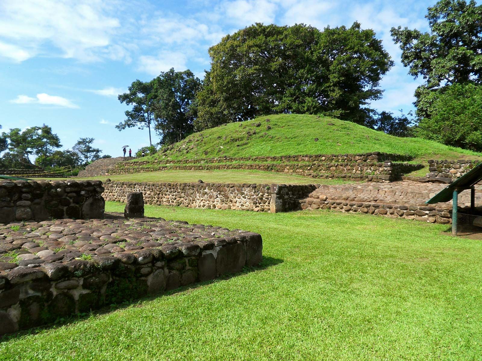
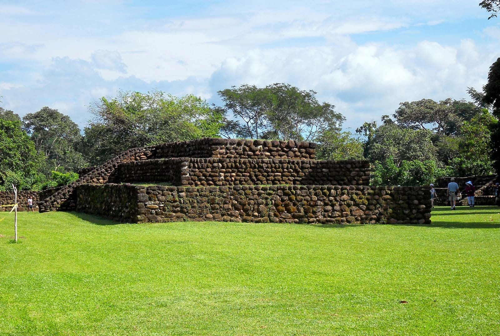
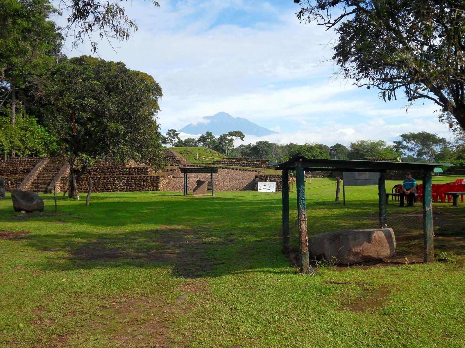
Unlike the area farther north, sites along the central coast had ceremonial buildings, of which the most remarkable is El Paraíso in the Chillón Valley. This is an imposing stone-built structure on an artificial mound, with a central stairway leading up to a group of rectangular rooms. The central block, which occupied a commanding position in a side valley, has been partly reconstructed, but there were extensive wings that may have been residential, though they now appear as little more than piles of stones. Floodwater farming may have been practiced there, but definite signs of it have been obliterated by modern cultivation. At Río Seco, a few miles to the north, are two pyramids, constructed by filling a group of preexisting rooms with boulders, building adobe-walled rooms on top of them, and finally filling these up also.
Apart from one site, Kotosh, near modern Huánuco in the central Andes, little is known of the highland final Preceramic. A Japanese research team has found structures of undressed stone chosen to present flat wall surfaces, set in mud, covering an area of at least 200 by 100 yards (180 by 90 metres), in some parts of which was a succession of buildings piled up to a considerable height. Among these were two superimposed temples, the lower being a rectangular structure on a stepped platform about 26 feet high. The floor was surrounded by a broad, low bench, and each outside wall had two or three rectangular niches. The walls and floor were covered with two coats of mud plaster, and beneath the central niche at one end was a pair of crossed forearms modeled in the same material. This temple was later buried in boulders surrounded by a retaining wall and covered by a new floor on which a second temple was built, of which little remains. The burial of the first temple to act as a raised foundation for the second recalls the construction at Río Seco.