When will the weather get warmer?

- Published
It feels like this year could see a slow start to spring and summer, as happened in 2023, when the first real warmth in the UK did not arrive until early June.
Temperatures have only slowly been creeping up this spring in between spells of wet and cool weather.
The warmest day of this year so far was Saturday 13 April with the mercury hitting 21.8°C at Writtle in Essex.
Since then, temperatures have once again taken a tumble with yet another low-pressure system bringing very windy and wet conditions with heavy, thundery showers and even snow on the higher ground of Scotland this week.
Temperatures are expected to remain below average for the next few days.

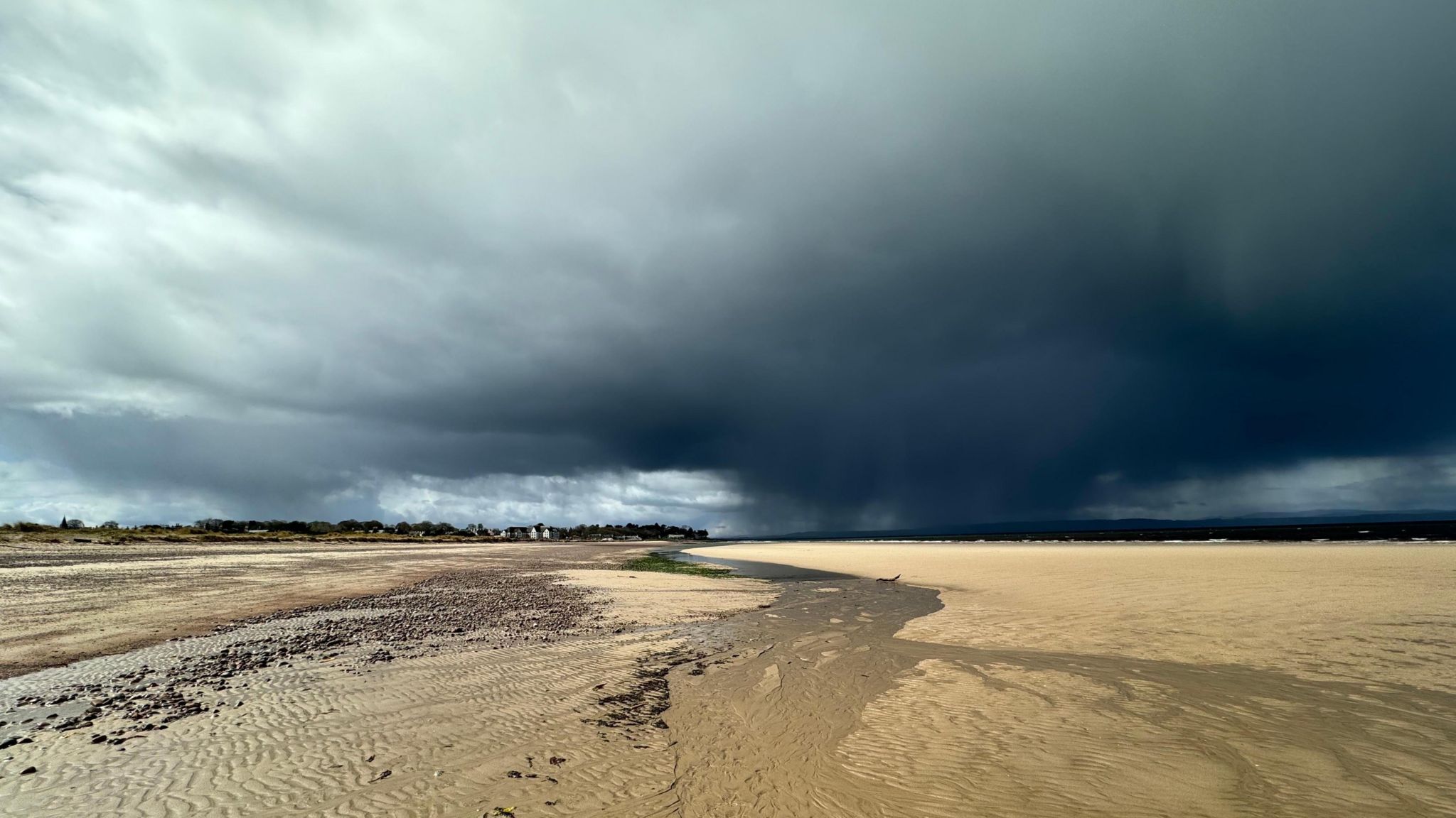
High pressure over the UK usually means a spell of settled weather
High pressure on the horizon?
Most of the computer models are now agreeing that an area of high pressure to the west of the UK, currently in the Atlantic, will topple across the country.
So at the weekend we are expecting to see plenty of drier weather, with the best of any sunshine across western parts, where it will feel warmer.
But instead of the high pressure sliding to the east of the country as it often does - which would bring warmer southerly or south-westerly winds - it is forecast to remain just to the west of the country.
This would give rise to northerly or north-easterly winds for many that would bring cooler and cloudier conditions with limited spells of sunshine, especially to eastern parts.
North Sea coasts would be rather chilly with an onshore breeze, along with cloudy and misty conditions for some.

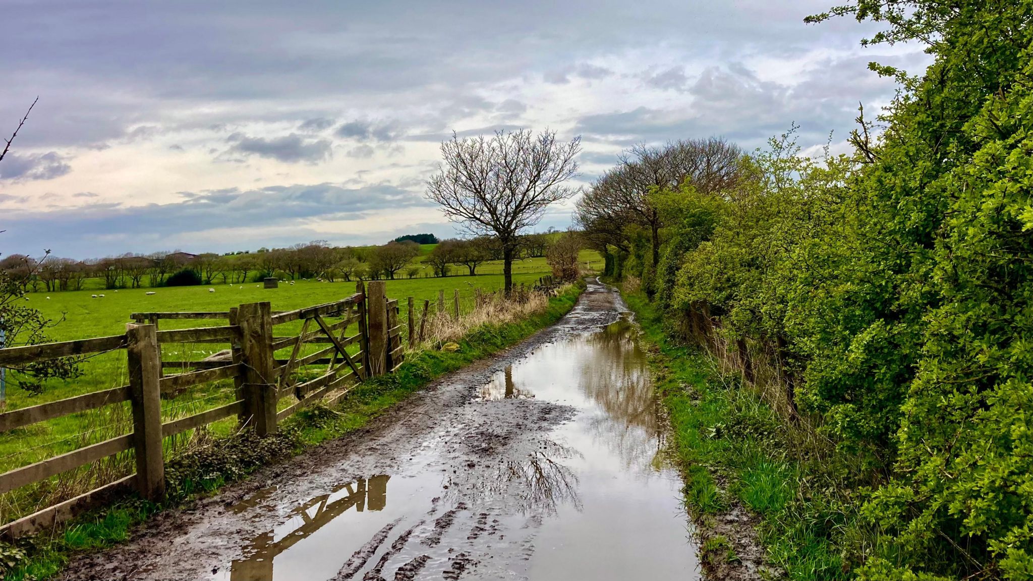
BBC Weather Watcher Shaun captured this image showing how flooding is affecting farmland
Rainy start to the season
With the record-breaking amount of rainfall that has fallen across the UK over the past 18 months, any spell of drier weather would be very welcome, since the ground is so saturated and has brought challenging and chaotic times for farmers and growers alike.
Unfortunately, it looks like this drier spell of weather expected over the weekend may be short-lived as high pressure retreats back westwards, allowing cooler and showery weather to prevail for the last week of April - more especially across northern and eastern parts.
With winds generally coming in from the north or the east, temperatures are expected to remain below or perhaps around the seasonal average across the UK.

Cloud cover can make a huge difference to the feel of the day at this time of year
Is there any warm and sunny weather coming soon?
The long-range forecast is looking quite mixed but as we head into May, high pressure will probably remain close to the UK, with a good deal of welcome dry weather expected for many areas.
As we move further into May uncertainty increases. However, there is a signal of fairly typical late spring conditions, with some good spells of dry weather, but also some more unsettled, showery interludes.
Temperatures are likely to trend towards the warmer side of average.
For the latest forecast you can keep up to date with BBC Weather online or on the app.
- Published9 April
- Published15 April